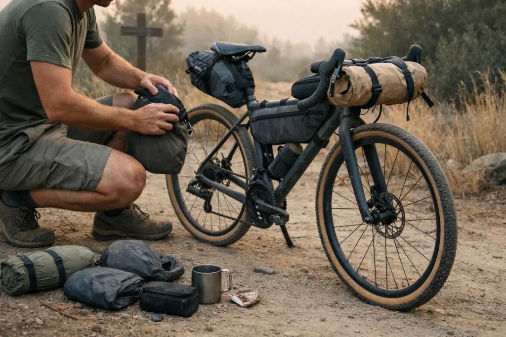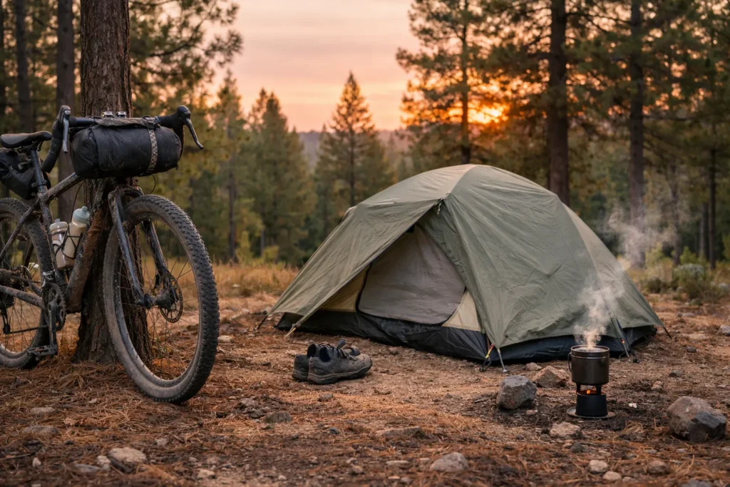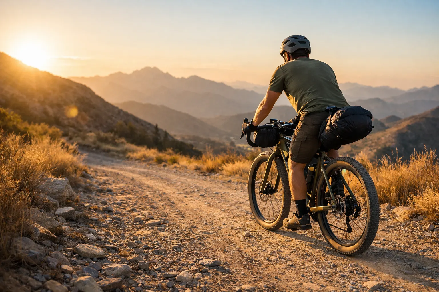
Best bikepacking routes live or die on one thing: the balance between wild and workable. Too remote and you’re hauling five days of food. Too developed and it feels like a hotel crawl on two wheels. The routes in this guide hit that sweet spot — tested, rideable, and genuinely rewarding for riders who prefer carrying less and experiencing more. Whether you’ve got two weeks or two months, there’s something here worth chasing.
I’ve spent the last decade testing routes across North America, Europe, and beyond — sometimes succeeding spectacularly, other times learning hard lessons about preparation and route selection. I rank the routes below by how clearly you can plan the hard parts: resupply, water, bailouts, surface, and a realistic seasonal window. When two routes are equally pretty, the one with fewer logistical surprises ranks higher.
Last updated July 2026: route distances, start points, seasonal guidance, and offline-navigation requirements were rechecked against current organizer and platform sources.
Table of Contents
- Find Your Route + Check Your Season
- What Makes a Bikepacking Route Minimalist-Friendly?
- How to Choose Your Next Bikepacking Route
- Best Bikepacking Routes for Beginners
- Essential Planning Tools: GPX, Apps & Safety
- Route Spotlights: 10 Best Bikepacking Routes by Region
- Route Comparison at a Glance
- My 3 Favorite Bikepacking Routes
- When to Ride: Seasonal Timing
- Match the Route to Your Experience and Bike
- Pick a Route and Start Planning
- Frequently Asked Questions
- Pick the Route That Fits Your Logistics
Not sure which route fits your experience, trip length, and timing? Use the matcher before browsing the full guide.
Find Your Route + Check Your Season
Answer four quick questions for a matched route and a broad seasonal screen. Use the result as a shortlist, then verify the route’s current access, weather, and trail reports before committing.
What’s your bikepacking experience level?
How much time do you have?
What kind of adventure calls to you?
When are you planning to ride?
What Makes a Bikepacking Route Minimalist-Friendly? ✓
Not every scenic trail translates into a good bikepacking experience when you’re traveling ultralight. The sweet spot exists where adventure meets practicality. Here’s the essential checklist for evaluating any route through a minimalist lens:
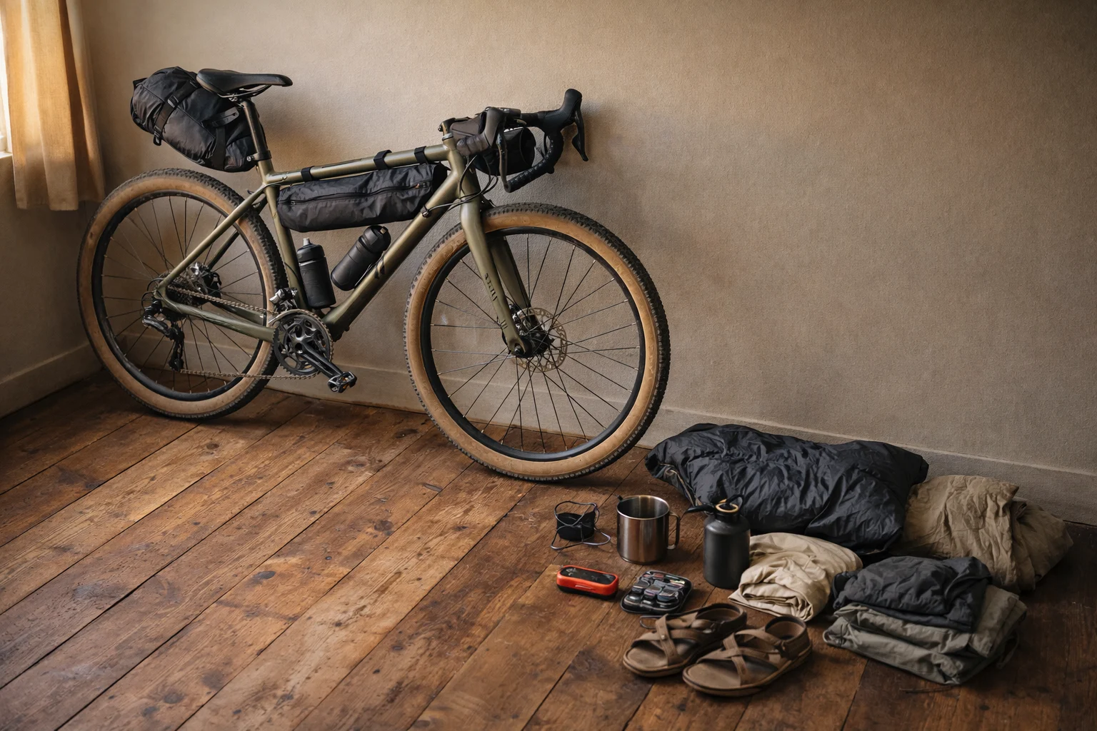
The Minimalist Route Checklist
Resupply Frequency
- ✅ Towns or stores every 50–100 miles (ideal for carrying 1–2 days of food)
- ⚠️ 100–150 miles between resupply (requires larger food bag)
- ❌ 150+ miles (forces you to carry excess weight, defeating minimalism)
Water Availability
- ✅ Verified water sources roughly every 20–30 miles after checking current route reports
- ✅ Taps/fountains in towns along route
- ⚠️ Cache points required (adds complexity)
- ❌ Must carry 2+ days of water (too heavy for minimalist approach)
Bailout Points
- ✅ Road crossings, towns, or staffed facilities that create realistic exit options at regular intervals
- ⚠️ Long no-service sections where a satellite communicator is worth considering
- ❌ Multi-day commitment with no realistic exit strategy
Surface & Terrain
- ✅ Gravel roads, doubletrack, smooth singletrack
- ⚠️ Technical singletrack (limits gear options)
- ⚠️ Significant hike-a-bike sections
- ❌ Requires specialized equipment
Navigation Complexity
- ✅ Well-marked or clear GPX track available
- ✅ Can navigate with phone app + backup map
- ⚠️ Requires detailed map reading skills
- ❌ Routefinding expertise essential
Seasonal Window
- ✅ 4+ month riding season
- ⚠️ 2–3 month window (requires precise timing)
- ❌ Narrow weather window (high risk)
Red Flags to Avoid
- ❌ Remote wilderness sections longer than 100 miles without resupply
- ❌ Seasonal routes with unpredictable opening dates
- ❌ Technical singletrack requiring specialized mountain bike skills beyond your current level
- ❌ Private land crossings without confirmed access permissions
The checklist above isn’t about finding easy routes — it’s about finding routes where your energy goes into the riding, not into logistics survival. A hard route with good resupply still lets you travel light. A moderate route with no water for 80 miles will wreck you regardless of fitness.
How to Choose Your Next Bikepacking Route
The Great Divide, Tuscany Trail, and Oregon Timber Trail are useful benchmarks because each makes its logistics visible: riders can study the terrain, current route files, resupply pattern, and seasonal constraints before committing. Use that level of planning clarity when evaluating another route.
In my experience, route format matters almost as much as terrain: a hard loop beats an easier point-to-point if you’re driving solo and hate shuttle logistics. Four formats cover most situations. When you are ready to build or adapt one yourself, the step-by-step bikepacking route planning guide covers GPX files, resupply, water, and bailout planning.
Point-to-point routes put you in new terrain every day but require transport between the finish and start. Loop routes simplify that problem by returning you to the same place. Hub-and-spoke riding uses day trips or overnighters from one base, which lowers commitment while you learn a region. Connector routes combine existing public roads and trails, offering more flexibility but demanding stronger navigation and access checks.
Matching Routes to Your Goals
| Your Priority | Look For | Avoid |
|---|---|---|
| Solitude | Remote wilderness routes, weekday riding, shoulder season | Popular summer routes, weekend warriors |
| Cultural immersion | European routes, multi-country tours, village-to-village | Wilderness backcountry, remote forests |
| Physical challenge | Mountain passes, high elevation, technical terrain | Rail trails, flat routes |
| Beginner-friendly | Established routes, strong community, good infrastructure | Experimental routes, limited beta |
| Scenic variety | Point-to-point routes, multi-biome crossings | Single-terrain loops |
Best Bikepacking Routes for Beginners
If you want your first trip to feel adventurous rather than stressful, pick a route with frequent towns, simple navigation, and flexible sleeping options. These are among the more manageable starting points on the list; the free USA bikepacking routes guide adds route-specific water and campsite planning for riders staying domestic.
- C&O Canal / GAP Trail (USA) — largely flat trail riding with frequent towns and access points
- King Alfred’s Way (England) — a 217-mile circular route with an official GPX and multiple transport access points
- Munda Biddi Trail — Northern Section (Australia) — a shorter section of a trail with purpose-built shelters and water tanks
- Tuscany Trail (Italy) — current loop format simplifies shuttle logistics, but the start point and GPX can change by edition
- Otago Central Rail Trail (NZ) — a rail-trail format with established towns and services
Quick pacing rule: start conservative on day one, then adjust after you see your real speed on that surface. Use the route quiz above to get a matched recommendation for your specific time window and experience level.
Essential Planning Tools: GPX, Apps & Safety 🗺️
Smart route planning starts long before you throw a leg over your bike. These resources help you research, plan, and navigate without breaking the bank or your minimalist principles.
GPX Sources & Route Databases
Bikepacking.com publishes free route pages with elevation profiles, GPX downloads, water notes, and rider reports. Ride with GPS provides a large user-created route library with turn-by-turn navigation, while Komoot adds surface-type mapping that can help with European route planning. For North America, the Adventure Cycling Association maintains long-distance routes and official planning resources, including current GDMBR maps and updates.
Navigation Apps
For on-route navigation, Gaia GPS offers offline maps, multiple layers, route creation, and track recording; its current help documentation says offline downloads require a subscription. OsmAnd remains an open-source, offline-first alternative. Komoot offers voice navigation on mixed terrain. Whatever app you choose, download and open the complete route before departure, include required bike detours, and carry a backup power plan. For a full breakdown of Gaia vs AllTrails and which to use where, see the GPS navigation for bikepacking guide.
Safety & Communication
For routes with long sections outside mobile coverage, a satellite communicator is worth serious consideration. Garmin inReach devices offer two-way messaging; SPOT devices provide emergency SOS. Mountain-Forecast.com can add elevation-specific forecasts for mountain routes, but it does not replace the route organizer or local weather service. Always share your route GPX with a trusted contact before departure and know your bailout points.
| Device | Best For | Two-Way Messaging | Service Requirement |
|---|---|---|---|
| Garmin inReach Messenger | Riders who want Garmin ecosystem integration and tracking | ✅ Yes | Active inReach satellite plan required for satellite communication |
| ZOLEO Satellite Communicator | Riders who want app-led messaging and a dedicated check-in workflow | ✅ Yes | Active ZOLEO plan required; current plans and device lineup can change |
Free planning resource: The Adventure Cycling Association maintains a searchable North American route network with official maps and planning information. Use it as a starting point, then check the current route page and local alerts before departure.
Route Spotlights: 10 Best Bikepacking Routes by Region
These are standout bikepacking destinations — from the Scottish Highlands to Chilean Patagonia — filtered through a minimalist lens. Each card gives you planning figures so you can scan and shortlist before reading deeper. Routes, detours, start points, and event tracks can change, so open the organizer’s current GPX and alerts before booking transport. Difficulty is rated on three points: Mellow, Challenging, Epic.
🇺🇸 North America
Great Divide Mountain Bike Route
This 3,000-plus-mile route now runs from Jasper to Antelope Wells. Much of it follows remote unpaved roads, while wildlife, storms, mud, and long service gaps demand self-sufficiency. Verify the current map set before departure.
Oregon Timber Trail
The route crosses forest, high desert, singletrack, and remote road sections. Its official guide and GPS files matter because alignment, trail clearing, closures, snow, and fire conditions can change during the season.
Colorado Trail
The bike route includes mandatory detours around wilderness areas and long high-elevation sections. Afternoon thunderstorms, technical trail, and hike-a-bike are normal; use the official cycling route rather than a hiking GPX.
Arizona Trail
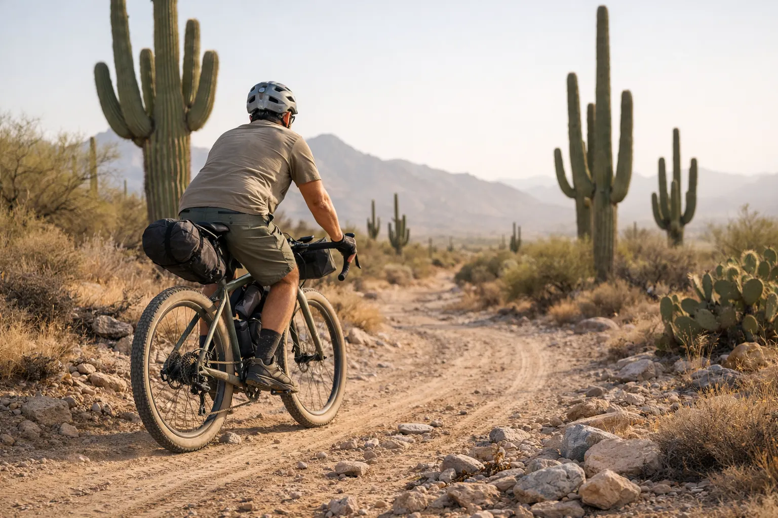
Saguaro forests, canyon country, and genuine solitude. The official bike route uses detours around wilderness areas, and water planning is critical. Check the current bike GPX, closures, and water report before every trip.
🇪🇺 Europe
Tuscany Trail
The minimalist’s cultural trip: hard gravel climbs, hill towns, and frequent food stops. Current editions use a loop, but the organizer can change the start point and GPX, so verify transport logistics first.
Highland Trail 550
A roughly 550-mile self-supported loop through remote Highland terrain. Lightweight camping is generally covered by Scottish access rights when practiced responsibly, but local restrictions and the Access Code still apply. A satellite communicator is worth considering for the longest no-service sections.
King Alfred’s Way
A practical first international loop for riders comfortable with mixed surfaces. It is accessible from southern English cities and supported by an official GPX, but wet bridleways and routefinding can still slow the trip.
🌍 Global Bucket List
Carretera Austral
A remote Patagonian road journey with long gravel sections, ferry connections, and limited services. Build buffer days around current ferry schedules, road conditions, and fast-changing weather.
Munda Biddi Trail
A 1,072 km off-road trail from Mundaring to Albany with natural surfaces, forest roads, and 12 purpose-built shelters. The foundation advises against riding during the hot December–February summer.
Tour Aotearoa
A 3,000 km route from Cape Reinga to Bluff that combines established cycle trails, back-country roads, and inter-island logistics. Plan around the Cook Strait crossing and changing mountain weather.
Route Comparison at a Glance
Quick answer: beginners can shortlist King Alfred’s Way or a supported Munda Biddi section; riders with several successful trips can compare the Oregon Timber Trail or Tuscany Trail; and experienced long-distance riders can assess the Great Divide or Tour Aotearoa.
Use this table to shortlist your next adventure. Scan by difficulty, distance, or season to find your fit.
| Route | Distance | Difficulty | Best Season | Surface | Minimalist ★ |
|---|---|---|---|---|---|
| King Alfred’s Way | 220 mi | Mellow | Apr–Oct | Bridleways/gravel | ★★★★★ |
| Tuscany Trail | ≈276 mi | Challenging | Spring or early fall | Mixed gravel/trail | ★★★★★ |
| Munda Biddi Trail | 666 mi | Mellow | Late Mar–Nov | Natural trail/forest road | ★★★★★ |
| Oregon Timber Trail | 670 mi | Challenging | Jul–Sep | Mixed singletrack | ★★★★½ |
| Colorado Trail bike route | ≈540 mi | Epic | Jul–Sep | Trail + bike detours | ★★★★ |
| Tour Aotearoa | 1,864 mi / 3,000 km | Epic | Best mid-Feb–early Mar | Mixed | ★★★★ |
| Carretera Austral | 770 mi | Challenging | Dec–Mar | Gravel road | ★★★½ |
| Arizona Trail | 800 mi | Challenging | Mar–May, Sep–Nov | 50% singletrack | ★★★ |
| Great Divide MTB Route | 3,000+ mi | Epic | Snowpack-dependent | Mostly unpaved | ★★★★ |
| Highland Trail 550 | 550 mi | Epic | May–Sep | Singletrack/doubletrack | ★★★ |
My 3 Favorite Bikepacking Routes 🏆
Numbers, cards, and tables can only tell you so much. Here’s why these three routes stand above the rest from a personal standpoint.
#1: Oregon Timber Trail
The OTT never overstays its welcome. On my rides, the moment dense Cascade fir gave way to high desert juniper south of Bend made me stop pedaling just to look. Its mix of achievable distance, varied terrain, and regular resupply is the strongest North American balance I’ve found.
I’ve ridden this twice — once solo, once with a small group. On those trips I rarely carried more than two or three days of food, and the route community made planning feel supported rather than overwhelming.
#2: Tuscany Trail
Tuscany showed me how much frequent towns can change a bikepacking trip: I could carry less food without giving up challenging gravel. The standout moment wasn’t a summit — it was rolling into a village at sunset, finding dinner, and watching the piazza fill. No other route I’ve ridden has balanced physical effort and cultural reward in quite the same way.
#3: Colorado Trail
The CT demands respect: high passes, afternoon storms, technical trail, and required bike detours shape every plan. Crossing above treeline in the Collegiate Peaks, surrounded by 14,000-foot summits, is the kind of moment that reframes what you think you’re capable of. Road crossings create bailout options, but they do not cancel the altitude or weather.
When to Ride: Seasonal Timing 🌦️
The same route can be transcendent in April and dangerous in July. Here’s the fast breakdown by season, then route-specific rules worth burning in.
Spring (March–May)
- Best picks: Arizona Trail, Tuscany Trail, King Alfred’s Way, low-elevation desert routes
- Watch-outs: Snow and mud at higher elevations, plus fast-changing shoulder-season weather
- Packing implication: Usually lighter insulation than winter, but high routes may still require cold-weather layers
Summer (June–August)
- Best picks: Great Divide, Colorado Trail, Highland Trail 550, high-mountain routes
- Watch-outs: Afternoon thunderstorms in the Rockies, fire or smoke disruptions in the West, and European heat and crowds
- Packing implication: Lighter insulation is often possible, but high elevations still demand rain and cold protection
Fall (September–November)
- Best picks: Arizona Trail, Munda Biddi Trail, Tuscany Trail, low-elevation desert routes
- Watch-outs: Shorter days, possible early snow at high elevation, and hunting seasons in some areas
- Packing implication: Add warmth and lighting capacity as nights lengthen
Winter (December–February)
- Best picks: Baja Divide, southern Arizona low sections, and Tour Aotearoa around its mid-to-late-February window
- Watch-outs: Many Northern Hemisphere mountain routes are snow-covered or unsuitable for ordinary bikepacking
- Packing implication: More insulation and rain protection, with route choice doing most of the safety work
Use route-specific organizer guidance rather than one universal season rule. The current Great Divide map set starts in Jasper, so a southbound departure depends on northern snowpack. The Oregon Timber Trail warns that snow can linger well into June and can return by mid-October. The full Colorado Trail bicycle route is generally a July–September undertaking.
Southern Hemisphere timing flips the calendar. The Munda Biddi Trail has a broad late-March-through-November window, while December–February brings serious heat and wildfire risk. For Tour Aotearoa, the organizer identifies mid-to-late February as optimal and early March as workable.
Match the Route to Your Experience and Bike
Start with honest self-assessment: fitness, available time, and what kind of adventure genuinely excites you. Then match the route to that reality — not the other way around. Tire width is one of the first bike details to check: roughly 38–50mm can suit smoother gravel, while singletrack-heavy routes often call for 2.0-inch or wider tires. Treat those as starting points, not universal rules.
Beginners should pick a 2–4 day section of a longer route rather than committing to the full thing. Good starting points: King Alfred’s Way, C&O Canal/GAP Trail (USA), or Munda Biddi Trail sections.
Intermediate riders with several successful overnights may be ready for complete routes in the 400–800 mile range, depending on pace and logistics. Challenge yourself with one new element — elevation, remoteness, or technical terrain — but not all three at once. The Oregon Timber Trail, Tuscany Trail, and Colorado Trail all sit here.
Advanced bikepackers can take on the full Great Divide, Tour Aotearoa, or start building custom connector routes between existing trails.
Pick a Route and Start Planning
Use the route matcher above to get a starting recommendation, cross-check it against the comparison table, then open the current official route page or organizer GPX. Check recent trip reports and local alerts — conditions change faster than any guide can update — and plan your gear around what the route actually demands, not a generic packing list.
- Free USA Bikepacking Routes Guide — deeper breakdown of American routes
- How to plan a bikepacking route step-by-step — build and customize your own route
- Bikepacking Gear Essentials — what to carry for minimalist adventures
- Travel Insurance for Bikepackers — worth reading before international routes
- Bikepacking for Beginners — start here if you’re new to the sport
Frequently Asked Questions
Pick the Route That Fits Your Logistics
The best bikepacking routes give you a clear next step, not a guarantee. Use this guide as your shortlist, choose the route that fits your experience and time, then validate its current GPX, access, water, weather, and transport logistics before committing.
The right route should stretch your riding without forcing you to ignore water, access, weather, or transport. A little apprehension is useful; preventable risk is not.
This guide is for general education and planning purposes. Route conditions, water sources, and trail access change seasonally — always verify current conditions through official land management agencies and recent rider reports before departure. Ride within your abilities and consult local experts for safety-critical decisions.